Monday, February 20, 2017

Assignment 2: Building Maps with Pix4D

Introduction:

Why are proper cartographic skills essential in working with UAS data?

Being able to understand not only the information associated with what the viewer is looking at, but also the context of that information is crucial to understanding a map. This puts emphasis on the cartographer to ensure that the map is easily understood by anyone analyzing it.

What are the fundamentals of turning either a drawing or an aerial image into a map?

All maps must include a scale, a north arrow, watermark, locator map, and data sources. These are all important features each map should contain for proper understanding and analysis.

What can spatial patterns of data tell the reader about UAS data?

Using a UAS to collect data can be very beneficial to projects or research that requires a more customized analysis that can be more cost effective, more timely, and more accurate than using satellite imagery. Using UAS imagery can help the viewer to analyze spatial patterns on the earth's surface. These could include crop yields and the soils associated with certain areas, mountain ranges and where fault lines are located, city planners and where people live, work, and travel, and the list goes on.

What are the objectives of this lab?

The objectives are to become familiar with ArcScene and ArcMap, as well as work on good map-making techniques, and using a variety of UAS processed imagery.

What is the difference between a DSM and a DEM? A georeferenced mosaic and a orthorectified mosaic?

A DSM shows the elevation of earth's surface and the objects on the surface. A DEM only shows the elevation of the ground, excluding vegetation, buildings, and any other non-surface extremities. 

A mosaic is a collection of images that are placed on top of one another to create a unified image of the earth. A georeferenced mosaic already has a coordinate system attached to it and has information on which coordinate system it is in, so it can be modified for other coordinate systems. An orthorectified mosaic is an image that has been manipulated to fit into a specific coordinate system and minimizing the distortion to the image because of this. 

Methods:

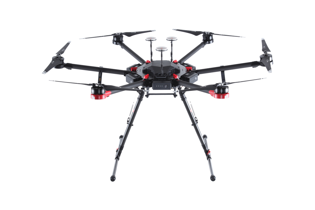
The images used to make these maps were collected by a DJI Phantom drone from a height of 50 meters at a track in Eau Claire, WI. From there, the images were brought into ArcScene and ArcMap as hillshade, digital surface model, and orthomosaic rasters. These were then used to create three separate maps, each one displaying different information of the same location. The first map shows an image of the track that is an orthorectified mosaic rendering; meaning the image has coordinates attached to it, giving the image a geographic location. This is evident through out all three maps, as they all use a basemap which is rendered in accordance with the coordinates from the images. The second map is a digital surface model (DSM) which is an image that shows elevation of the earth's surface and objects on the surface. The third and final map is a hillshade DSM, which helps visualize the surface elevation using shadows.


Results:

Looking at the maps, there are some fairly interesting patterns that are visible. Looking at the DSM, there is an elevation gradient from the northeastern portion of the field to the southwestern portion. This accounts for a fairly gradual slope in the surface, which isn't ideal for a track, however, it's more than likely not very noticeable. Looking at the hillshade map, the area within the outermost lane of the track is quite flat, which is to be expected. Off the track and field, however, there are some patterns that could reflect areas of water drainage and other uneven surfaces as well as some vegetation and a man-made structure. 

Conclusion:

Using UAS imagery, the viewer can get a good sense of different patterns and occurrences happening at the ground level. The three maps that were made for the context of this assignment were helpful in noticing the slope of the field from the DSM, which wouldn't be easy to do just looking at the original image and would have to be done by surveying the land. Also looking at the evenness of the land is made easy by using the hillshade image. Combing the maps together, to form one map with different layers could be more useful than the methods used here, as it would allow for a greater exaggeration of the irregularities of the surface. 

Sources

http://gisgeography.com/dem-dsm-dtm-differences/
https://imageryspeaks.wordpress.com/2012/01/24/georeferencing-vs-georectification-vs-geocoding/

Monday, February 6, 2017

Assignment 1: UAS Platform Consulting Report

Abstract

The objective of this report was to create a list of three of the best (subjective) drone options available on the market today. This list is to be used as a guide to potential drone buyers on which drone is the best option for their given interest and price range. The drones selected were chosen based on their available sensor options, mission planning software, flight range, flight time, usability, and value for money.

Report

Hobby/ Low-level Commercial:

DJI Phantom 4 Pro
Specifications:

  • Price | $1,199 - $1,499
  • Usability | rated very high by many third-party drone review sites. Minimal set up required.
  • Camera | 1-inch 20 megapixel Exmor R CMOS sensor.
  • Video quality | 4K resolution, 1080p monitoring, infrared
  • Gimbal included | Yes 
  • Range | ~ 3 miles
  • Maximum flight time | ~ 30 minutes
  • Remote Control | built in screen option available , external option (ie. smartphone, tablet, etc.)
  • Extra Features | "Draw", intelligent batteries, return-to-home
The DJI Phantom 4 Pro is equipped with its own camera/sensor. While it is a little more expensive than the DJI Mavic Pro, it is cheaper than a few of its serious competitors, such as the DJI Inspire or Yuneec Typhoon H Pro, and is equipped with top-rated usability and one of the best cameras for the price range. Its camera is capable of recording video in 4K resolution, monitoring flights on remote control built-in screen in 1080p resolution, and has infrared sensing capabilities. In remote sensing, having the best quality image and sensing capabilities is vital to good analysis. This drone also has a maximum flight range of around 3 miles from the user, and a maximum flight time of around 30 minutes, which puts it among the top of its class. The remote control battery lasts up to 5 hours.

In terms of extra features, the "Draw" feature for this drone allows the user to draw a flight path on the remote control screen. This makes for simple and stable flight paths. Another automated feature is the return-to-home function. If the user loses connection with the drone or if flight conditions become hazardous to the drone, the Phantom 4 Pro will take over and fly itself back to the original launch point, avoiding obstacles and recording video on its way. The intelligent batteries this drone is equipped with give the user updates on battery life as well as notifies the user when the battery reaches its minimum level to return home safely.

When looking for a low-end drone that is versatile and functional to virtually any user, the DJI Phantom 4 Pro is the way to go. This drone has a top-rated usability and user-friendly software. Having one of the best cameras on the market for drones is one thing, but having it fixed into the cost of this drone is fantastic and results in no unforeseen, third-party camera costs like other models. With easy-to-use automated features, this drone pretty much flies itself all while capturing top-quality video and photographs.

More specifications and information:

https://www.dji.com/phantom-4-pro/info

Mid-Level Commercial:

DJI Matrice 600 Pro with Zenmuse X5R

Specifications:

  • Price | (with camera) ~$8,400
  • Usability | professional, some set-up required
  • Camera | 16 megapixel Zenmuse X5R CMOS sensor
  • Video quality | 4K resolution, monitoring depends on user's screen
  • Gimbal included | with camera
  • Range | ~ 3 miles
  • Maximum flight time | ~ 30 minutes
  • Remote Control | monitor not included
  • Extra Features | 13lb maximum pay load, automated landing, return-to-home
The DJI Matrice 600 Pro starts at around $5,000, and allows for the user to customize their camera and gimbal attachments. The drone itself is at the lower end of the mid-level price range, but some of it's competitors include cameras with their products where this one does not. The camera chosen in this set up is the Zenmuse X5R gimbal camera and is capable of filming in 4K resolution, which is perfect for crystal clear remote sensing capture and analysis. When it comes to monitoring flight, the included A3 Pro Flight remote control has many DJI and third-party attachments available for whatever tablet or smart phone the pilot prefers to use. Much like its competitors and top entry-level models, this drone has a flight range of around 3 miles and a maximum flight time of 30 minutes. Flight range and time can be altered depending on how much weight the drone is carrying.

Since this drone is also made by DJI, like the Phantom 4 Pro, all of the software capabilities and functions for the Matrice are available for this model. One incredible feature of this model is its up to 13 pound pay load, putting its carrying capacity above many other models of similar price. This feature also allows for more options when it comes to choosing a camera and makes this model more versatile for its use. With a nearly $9,000 piece of equipment, one must be confident in their flying abilities as well as the drone's, with this model, the user gets that confidence with automated landing, return-to-home, and other features DJI models are equipped with.

When it comes to picking out a durable, reliable, and versatile mid-level drone, the DJI Matrice 600 Pro is a sure bet. With multiple camera compatibility, a 13 pound pay load, and DJI's easy-to-use software and smart features, this drone gives the user a customizable drone and a reliable flight experience.    

More specifications and information:

http://www.dji.com/matrice600-pro

High-Level Commercial:

Trimble UX5 HP
Specifications:
  • Price | ~$40,000
  • Usability | professional, industrial, some set-up required
  • Camera | 36 megapixel Sony Alpha 7R 15mm and 35mm lens 
  • Resolution | 1 cm to 25 cm ground sample distance
  • Range | ~32 miles
  • Maximum flight time | 40 minutes
  • Extra features | can fly in winds up to 34 mph and light rain
The Trimble UX5 HP is a fixed wing UAV like no other. The UX5 HP uses a state-of-the-art GNSS receiver and a mobile positioning system called "post-process kinematics" to fly, which eliminates the need for ground control points and therefore can be flown in places that may require a dangerous set-up otherwise. This UAV is equipped with a 36 megapixel Sony Alpha 7R which is capable of capturing up to 1 cm ground sample distance resolution; an unbelievably accurate technology. The UAV is put into flight by a catapult launch, can cruise at speeds up to 53 miles per hour, and has a maximum flight time of 40 minutes. The flight can be monitored with a custom tablet that comes with the model. The tablet allows the user to plan a flight path within its 32 mile range, collect real-time data, and take off/land the aircraft.

In addition to having industry-leading accuracy and data collection, the UX5 HP is incredibly durable and weather resistant. This aircraft is capable of flying in wind speeds up to 34 mph, light rain, and "extreme temperatures" as deemed by Trimble. It is made to land by sliding on its belly and is built durable enough to do so.

For industrial and professional applications where centimeters count, the Trimble UX5 HP is the best option for land surveying, mapping, and remote sensing. Light and durable, this aircraft has a range of 32 miles, and can fly for up to 40 minutes at speeds up to 53 mph and in winds of up to 34 mph. This UAV is capable of flying with out ground control points, making it safer to use than its fixed wing competitors and more versatile as far as ability to use.   

More specifications and information:


Sources